Global Maritime Engine
Navigating the
Open Sea.
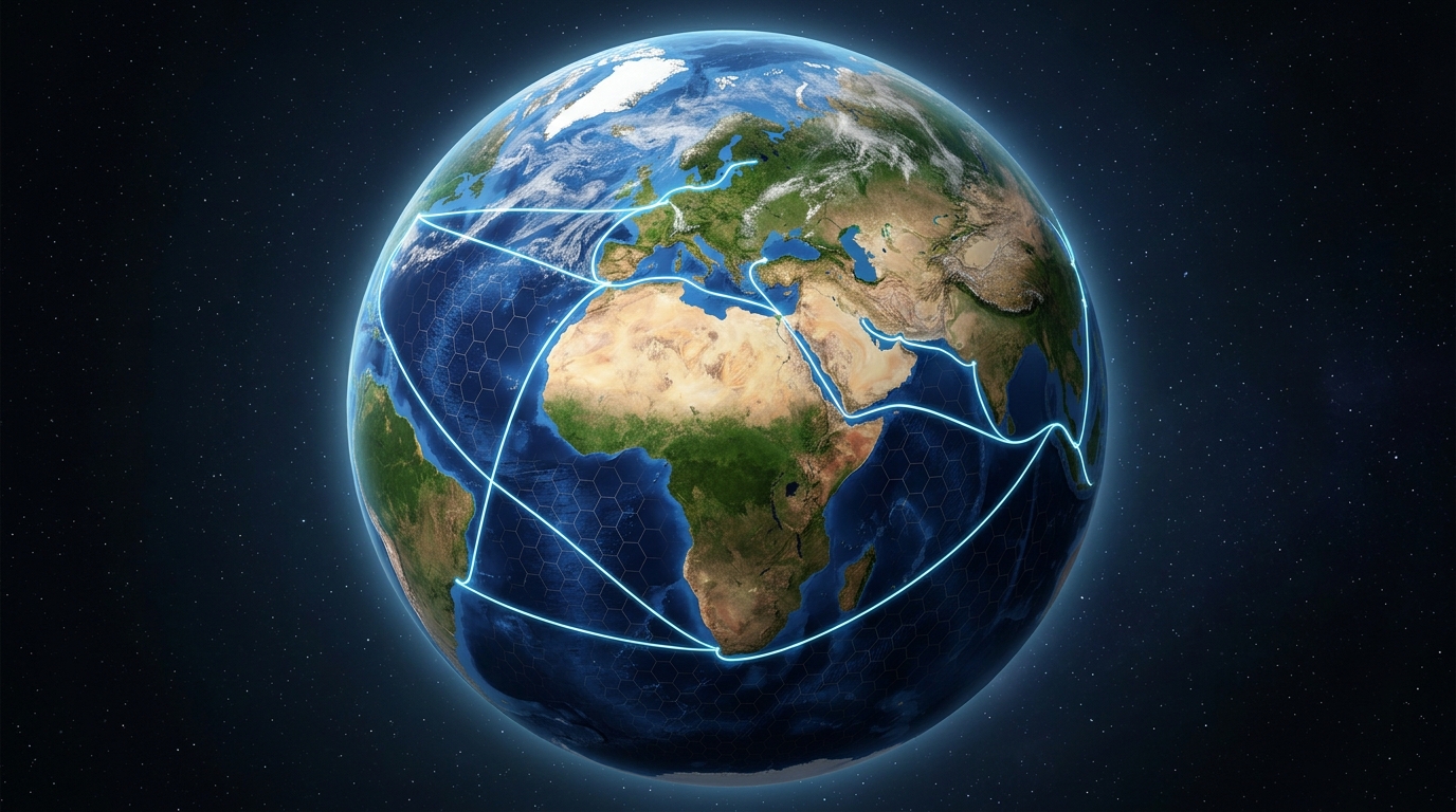
While land has roads, the ocean is boundless. ArgoRoute is the intelligence that calculates the safest, most optimal path through the world's waters.
See How It Works
While land has roads, the ocean is boundless. ArgoRoute is the intelligence that calculates the safest, most optimal path through the world's waters.
See How It WorksWhile powerful routing engines exist for fixed land networks, maritime equivalents remain scarce and much weaker. The boundless ocean requires a radically different spatial approach. Here is how we solved it.
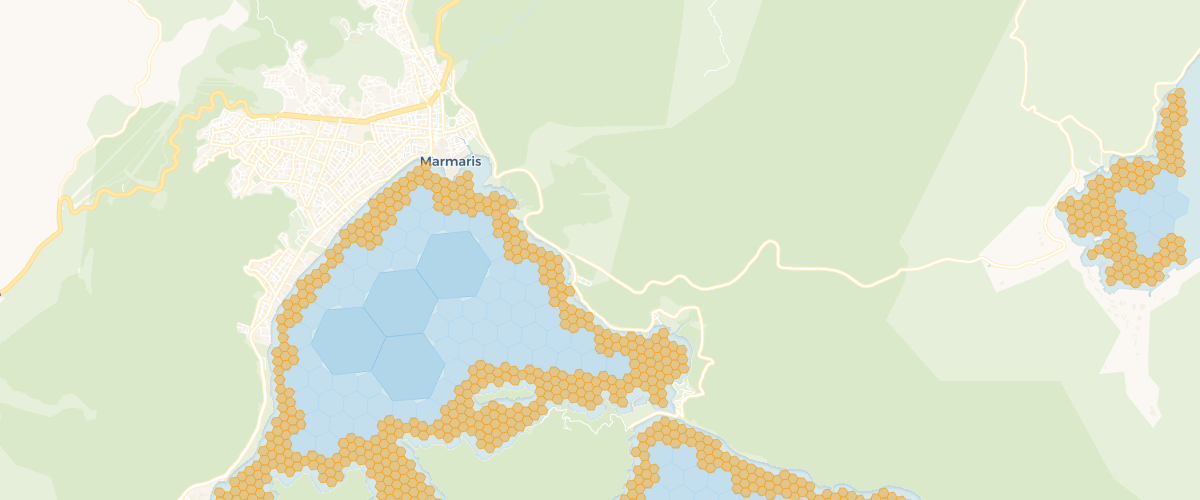
Image credit: auto-sea-way/asw
Without roads, ships need constant depth checks to avoid running aground. Traditional GPS doesn't know what lies beneath the surface.
We divide the entire planet's oceans into millions of invisible hexagons. Each cell holds exact depth data, ensuring a safe clearance for your specific vessel.
Unlike square grids which distort distance, our H3 hexagonal mesh allows our engine to calculate perfect, unbiased routes in any direction.
ArgoRoute processes planetary-scale bathymetry in milliseconds, providing an invisible, hyper-accurate track for modern explorers.
Open Source Heritage: ArgoRoute is proudly built upon the foundational work and research of the auto-sea-way/asw project. We acknowledge and thank the original authors for their pioneering approach to H3-based maritime pathfinding.